Browse
Export 827 results:
Filters: First Letter Of Last Name is T [Clear All Filters]
Sevierville Land Use Plan, Sevierville, Tennessee. Knoxville, TN: East Tennessee State Planning Commission, 1964.
"Sevier County, Tennessee Marriage Records Part IV." Smoky Mountain Historical Society Newsletter 19, no. 3 (1993): 14-48.
"Sevier County, Tennessee Marriage Records Part III." Smoky Mountain Historical Society Newsletter 19, no. 3 (1993): 14-53.
Sevier County, Tennessee Marriage Book II, 1873-1880. D. H. Templin, 1985.
"Sevier County Marriage Book II." Smoky Mountain Historical Society Newsletter 11, no. 3 (1985): 84-85.
"Sevier County Marriage Book II." Smoky Mountain Historical Society Newsletter 10, no. 4 (1984): 27-29.
"Sevier County Marriage Book II." Smoky Mountain Historical Society Newsletter 11, no. 1 (1985): 22-24.
"Sevier County Marriage Book II." Smoky Mountain Historical Society Newsletter 11, no. 2 (1985): 50.
"Sevier County Marriage Book II." Smoky Mountain Historical Society Newsletter 11, no. 4 (1985): 108-111.
Service Station on Tennessee Highway 71, 1938. National Archives and Records Administration, Atlanta: Kodak Negative File, 1938.
Selected Recreation Facilities Needs Estimates--Great Smoky Mountain Planning Region, 1990. Knoxville, TN: The Department, 1975 , 1975.
Selected Recreation Facilities Needs Estimates--Great Smoky Mountain Planning Region, 1990. Knoxville, TN: The Department, 1975 , 1975.
"Seeking Just Enough Adversity at Abrams Creek Campground." Knoxville Mercury (2016).
"Secondary Formation and the Smoky Mountain Organic Aerosol: An Examination of Aerosol Polarity and Functional Group Composition During SEAVS." Environmental Science & Technology 32, no. 5 (1998): 604-613.
Second Home Development. Tennessee State Planning Office, 1978.
"Seasonal variation in nitrate reductase activity in needles of high-elevation red spruce trees." Canadian Journal of Forest Research 22, no. 3 (1992): 375-380.
Scenic View of Unidentified River. The University of Tennessee Libraries Digital Collections: Thompson Brothers Digital Photograph Collection, 1920.
Scenic View of Unidentified River. The University of Tennessee Libraries Digital Collections: Thompson Brothers Digital Photograph Collection, 1920.
Scenic View of Unidentified River. The University of Tennessee Libraries Digital Collections: Thompson Brothers Digital Photograph Collection, 1920.
Scenic View of Lake and Mountain Peaks. The University of Tennessee Libraries Digital Collections: Thompson Brothers Digital Photograph Collection, 1920.
A scenic view of a river valley in the mountains. The University of Tennessee Libraries Digital Collections: Thompson Brothers Digital Photograph Collection, 1920.
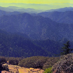
Scenic view from the trail to Gregory Bald. The University of Tennessee Libraries Digital Collections: Thompson Brothers Digital Photograph Collection, 1920.
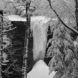
Savage's Dam, Le Conte Creek. The University of Tennessee Libraries Digital Collections: Thompson Brothers Digital Photograph Collection, 1920.
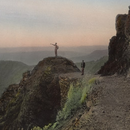
Sand Myrtle Point on Mount Le Conte. The University of Tennessee Libraries Digital Collections: Thompson Brothers Digital Photograph Collection, 1920.
"The Salamanders Eurycea longicauda and Plethodon glutinosus in Gregorys Cave, TN: Monitoring and Observations on Ecology and Natural History." Southeastern Naturalist 5, no. 3 (2006): 435-442.


