Browse
Environmental Assessment of Campsite #43, Mt. Chapman In Environmental Assessment. Gatlinburg, Tennessee: National Park Service, 1980.
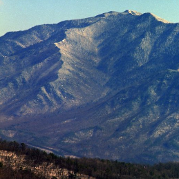
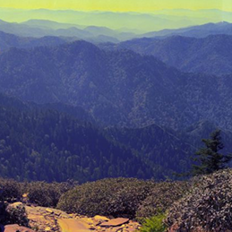
View from Mount Chapman. Mount Le Conte is the high point on the right in the background.. The University of Tennessee Libraries Digital Collections: Albert Gordon "Dutch" Roth Digital Photograph Collection, 1931.
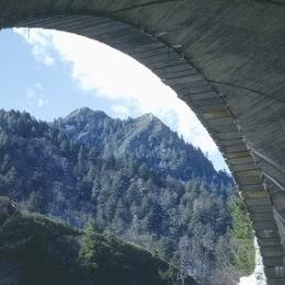
Taken from the Appalachian Trail of Mount Chapman and Mount Sequoyah.. The University of Tennessee Libraries Digital Collections: Albert Gordon "Dutch" Roth Digital Photograph Collection, 1935.
"Sweep of State Line with Mt. Chapman to extreme left & Eagle Rocks to extreme right". The University of Tennessee Libraries, Special Collections Libray.: Herbert M. Webster Photographs Collection (1926-1955), MS.3338.
"Mt. Guyot & Mt. Chapman. From trail near Laurel Top". The University of Tennessee Libraries, Special Collections Libray.: Herbert M. Webster Photographs Collection (1926-1955), MS.3338.
Mt. Guyot & Old Black. The University of Tennessee Libraries Digital Collections: Thompson Brothers Digital Photograph Collection, 1920.
Mt. Guyot. The University of Tennessee Libraries Digital Collections: Thompson Brothers Digital Photograph Collection, 1920.
"Mt. Chapman in Center - Guyot to the left. [F]rom trail near Laurel Top". The University of Tennessee Libraries, Special Collections Libray.: Herbert M. Webster Photographs Collection (1926-1955), MS.3338.
"Mt. Chapman in Center - Guyot to the left. [F]rom trail near Laurel Top". The University of Tennessee Libraries, Special Collections Libray.: Herbert M. Webster Photographs Collection (1926-1955), MS.3338.
"Mt. Chapman - Guyot. Greenbrier". The University of Tennessee Libraries, Special Collections Libray.: Herbert M. Webster Photographs Collection (1926-1955), MS.3338.
"Mt. Chapman". The University of Tennessee Libraries, Special Collections Libray.: Herbert M. Webster Photographs Collection (1926-1955), MS.3338.
Mount Guyot on left and Mount Chapman in middle. Taken from Greenbrier Pinnacle.. The University of Tennessee Libraries Digital Collections: Albert Gordon "Dutch" Roth Digital Photograph Collection, 1940.
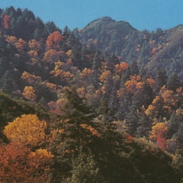
Mount Guyot, Mount Chapman, and Mount Sequoyah in the eastern part of Park.. The University of Tennessee Libraries Digital Collections: Albert Gordon "Dutch" Roth Digital Photograph Collection, 1935.
"Guyot & Chapman from Laurel Top. The Ridge in the foreground is the State Line between Laurel Top & Pecks Corner". The University of Tennessee Libraries, Special Collections Libray.: Herbert M. Webster Photographs Collection (1926-1955), MS.3338.
From Mount Chapman. Mount Guyot on left. White Rock through gap.. The University of Tennessee Libraries Digital Collections: Albert Gordon "Dutch" Roth Digital Photograph Collection, 1933.
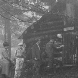
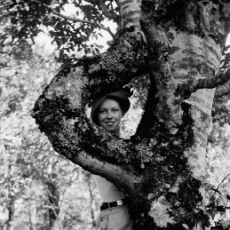
From left to right, Paul Hornburg and Harvey Broome at a blockade on the way to Mount Chapman.. The University of Tennessee Libraries Digital Collections: Albert Gordon "Dutch" Roth Digital Photograph Collection, 1931.
Fred Shelly, Paul Hornburg, Harvey Broome, and Albert Gordon "Dutch" Roth made camp at Over Hang Rock on way to Mount Chapman.. The University of Tennessee Libraries Digital Collections: Albert Gordon "Dutch" Roth Digital Photograph Collection, 1931.
"Chapman & Guyot from trail to Fittified Spring. Wooly Tops in extreme right of picture". The University of Tennessee Libraries, Special Collections Libray.: Herbert M. Webster Photographs Collection (1926-1955), MS.3338, 1934.


