Browse
Tennessee. Nashville, TN: U.S. Geological Survey, 1999.
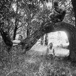
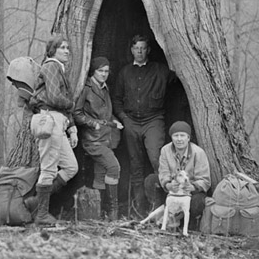
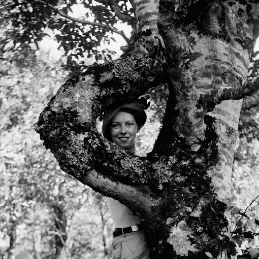
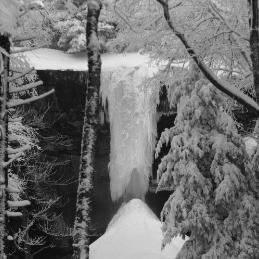
"Charlie bends his back to bitter wind down Nolands creek. 'The Coldest Day'". The University of Tennessee Libraries, Special Collections Libray.: Herbert M. Webster Photographs Collection (1926-1955), MS.3338, Undated.
"Noland's Creek (The coldest day!) Special". The University of Tennessee Libraries, Special Collections Libray.: Herbert M. Webster Photographs Collection (1926-1955), MS.3338.
"Winter Contrasts. Down Nolands Creed". The University of Tennessee Libraries, Special Collections Libray.: Herbert M. Webster Photographs Collection (1926-1955), MS.3338.
"Denitrification Potential in Sediments of Headwater Streams in the Southern Appalachian Mountains, USA." Journal of the North American Benthological Society 20, no. 4 (2001): 505-519.
"Destinations: Southern Exposure." Outside 22, no. 6 (1997): 120-124.
Geologic Map of the Noland Creek Quadrangle, North Carolina In Geologic map (North Carolina. Mineral Resource Section) ; GM 158-NE. Raleigh, NC: State of North Carolina, Department of Natural and Economic Resources, 1975.
Final Environmental Impact Statement: North Shore Road. Volume 1. Washington, DC: National Park Service, 2007.
Mineral Resources Summary of the Noland Creek Quadrangle, North Carolina In Mineral resources summary (North Carolina. Mineral Resource Section). Raleigh, NC: North Carolina Department of Natural Resources and Economic Resources, Division of Resource Planning and Evaluation, Mineral Resources Section, 1975.
North Shore Road Draft EIS: North Shore Cemetery Decoration Project. Chapel Hill, North Carolina: TRC Garrow Associates, Inc., 2005.


