Browse
"Great Smoky Mountains Delegation Visits Secretary Hickel." The Living Wilderness 33, no. 106: 36-37.
Great Smoky Mountains National Park Roads & Bridges, Deep Creek Road, Between Park Boundary near Bryson City & Deep Creek Campground, Gatlinburg, Sevier County, TN. Historic American Engineering Record.
Great Smoky Mountains National Park Roads & Bridges, Little River Road, Between Sugarlands Visitor Center & Townsend Wye, Gatlinburg, Sevier County, TN. Library of Congress Prints and Photographs Division: Historic American Engineering Record.
Great Smoky Mountains National Park Roads & Bridges, Roaring Fork Motor Nature Trail, Between Cherokee Orchard Road & U.S. Route 321, Gatlinburg, Sevier County, TN. Historic American Engineering Record.
Great Smoky Mountains National Park Roads & Bridges Team Photo. Library of Congress Prints and Photographs Division: Historic American Engineering Record.
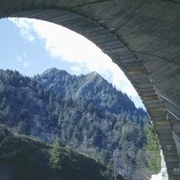
Great Smoky Mountains National Park Roads & Bridges, The Loop Over Bridge, Newfound Gap Road 8.6 miles from park entrance, Gatlinburg, Sevier County, TN. Historic American Engineering Record.
Greenbrier cabin.. The University of Tennessee Libraries Digital Collections: Albert Gordon "Dutch" Roth Digital Photograph Collection.
Greenbrier Hotel.. The University of Tennessee Libraries Digital Collections: Albert Gordon "Dutch" Roth Digital Photograph Collection.
"Greenbrier Pinnacle". The University of Tennessee Libraries, Special Collections Libray.: Herbert M. Webster Photographs Collection (1926-1955), MS.3338.
Greenbrier Pinnacle.. The University of Tennessee Libraries Digital Collections: Albert Gordon "Dutch" Roth Digital Photograph Collection.
Greenbrier Pinnacle.. The University of Tennessee Libraries Digital Collections: Albert Gordon "Dutch" Roth Digital Photograph Collection.
"Greenbrier Pinnacle from Brushy. Nice rain clouds below". The University of Tennessee Libraries, Special Collections Libray.: Herbert M. Webster Photographs Collection (1926-1955), MS.3338.
"Greenbrier Pinnacle from State Line trail near Laurel Top". The University of Tennessee Libraries, Special Collections Libray.: Herbert M. Webster Photographs Collection (1926-1955), MS.3338.
"Greenbrier Pinnacle. From trail to Porters Flats". The University of Tennessee Libraries, Special Collections Libray.: Herbert M. Webster Photographs Collection (1926-1955), MS.3338.
"Greenbrier Pinnacle. Guyot lead from Myrtle Point". The University of Tennessee Libraries, Special Collections Libray.: Herbert M. Webster Photographs Collection (1926-1955), MS.3338.
"Greenbrier Pinnacle (series) from State Line near Laurel Top". The University of Tennessee Libraries, Special Collections Libray.: Herbert M. Webster Photographs Collection (1926-1955), MS.3338.
Greenbrier Road, Between U.S. Route 321 & Greenbrier Road, Gatlinburg, Sevier County, TN. Library of Congress Prints and Photographs Division: Historic American Engineering Record.
"Gregory from Cades Cove". The University of Tennessee Libraries, Special Collections Libray.: Herbert M. Webster Photographs Collection (1926-1955), MS.3338.
"Grotto Falls. Roaring Fork". The University of Tennessee Libraries, Special Collections Libray.: Herbert M. Webster Photographs Collection (1926-1955), MS.3338.
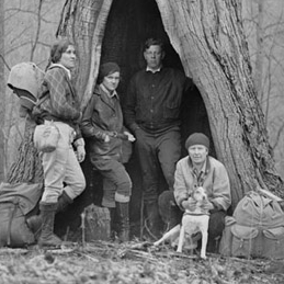
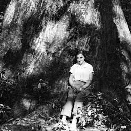
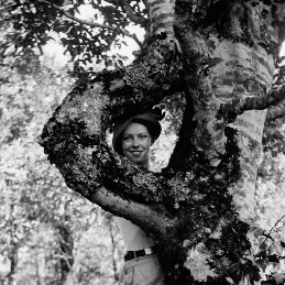
"Group at Big Chestnut. Porters Flats". The University of Tennessee Libraries, Special Collections Libray.: Herbert M. Webster Photographs Collection (1926-1955), MS.3338.
"Group at Big Chestnut. Porters Flats". The University of Tennessee Libraries, Special Collections Libray.: Herbert M. Webster Photographs Collection (1926-1955), MS.3338.

